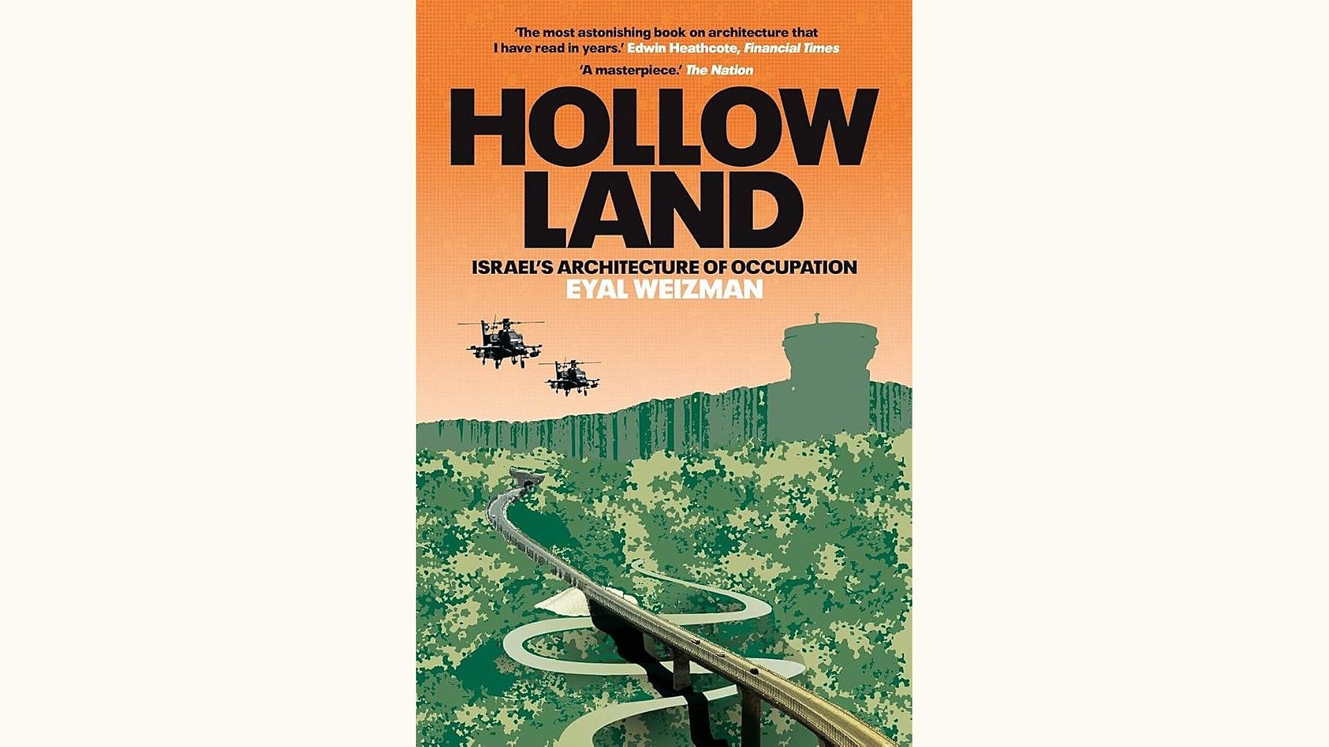
Foundational study by Eyal Weizman of how Israeli occupation operates through architecture and spatial design from settlements, to bypass roads, checkpoints, and the separation wall to control Palestinian land, movement, and life in the West Bank and Gaza. Drawing on architectural theory and field research, Weizman reveals that space itself is a primary instrument of colonial control. Essential reading for urban planners, geographers, and scholars of settler colonialism studying how built environments and spatial design function as instruments of colonial control in the West Bank and Gaza.