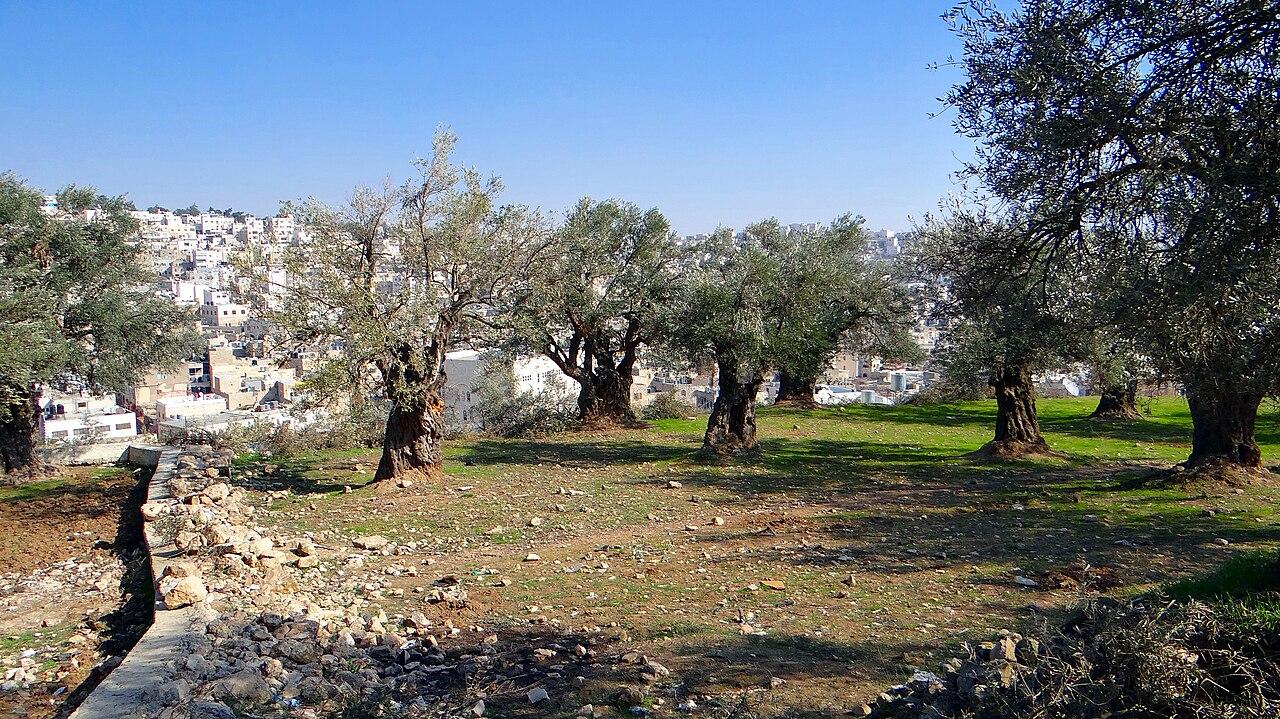
Olives & Sheep is a living map and research portal that integrates citizen journalism, archival materials, and geospatial data to document the occupied West Bank and the broader landscape of Historic Palestine. By synthesizing vetted information from organizations like United Nations Office for the Coordination of Humanitarian Affairs (UN-OCHA) and B'Tselem with grassroots reporting, the initiative provides a spatial and thematic context for understanding regional patterns and current events. Designed as an evolving educational resource for NGOs, activists, and researchers, and functions as a visionary tool for advocacy and accountability efforts.