Anas-Mohammed / Shutterstock.com
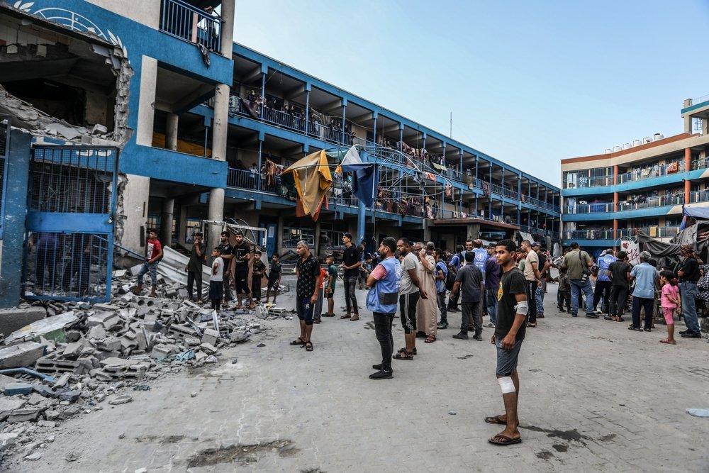
UNRWA report drawing on United Nations Satellite Centre (UNOSAT) satellite imagery collected on July 8, 2025 to assess the scale of damage to school buildings in Gaza. It provides the most comprehensive satellite-based assessment of educational infrastructure damage in Gaza as of that date. Of the damaged schools, 432 buildings (76.6%) sustained direct hits, and 91.8% (518 of 564) require full reconstruction or major rehabilitation. This is considered an essential technical resource for researchers, engineers, and policymakers working on the reconstruction of Gaza's educational infrastructure, with UNOSAT satellite data providing a rigorous assessment of damage valuable for reconstruction planning and accountability documentation.